I was waiting to get o this one because it would test just how accurate my method for geo-referencing the overlays might be. I’ve been going around and around with it all day basically. In the end some of he lines seem to be off, but others are right on; so I’m not sure how it could be corrected. At one time I had 30 reference points and it wasn’t any better than with just 4. I suppose I could eventually try referencing the specific road junctions since these are fairly easy to identify; but I’ve never seen this actually do any better in the past, so it will take a lot of coaxing to get me to do the work.
Still, pretty darn good; and it could just be that the lines really were drawn off the roads in the first place. How concerned would they have had, or even how much time would they have had, to care about getting the roads traced exactly?
Where is mentions “black” on the map, here we have my usual blue.
Orient yourself on the campaign map finding Culot.
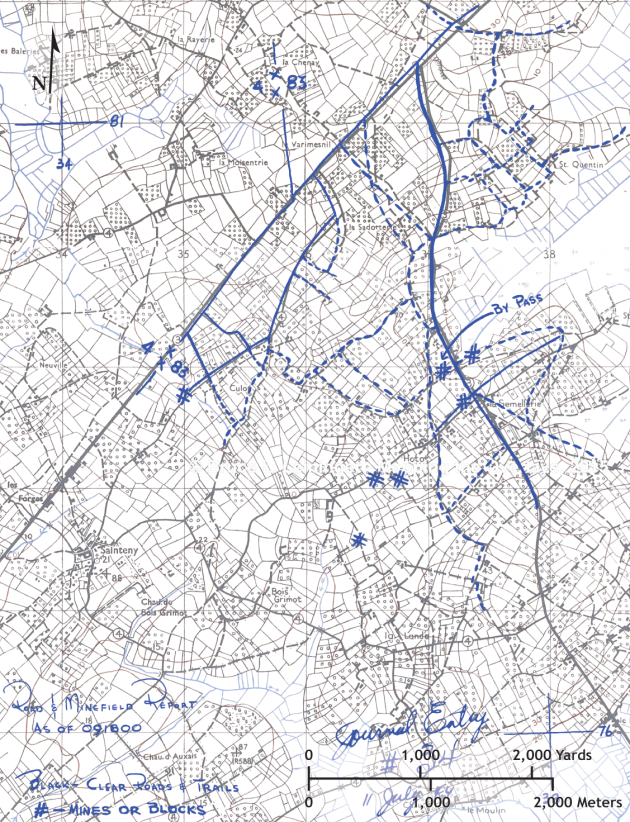
11 July 0618, Mines in 83 ID Area


